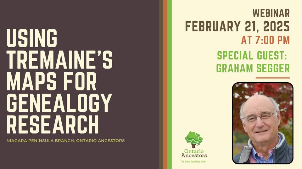
See link to webinar at the following link – YouTube.
For years I’ve used the 1862 Tremaine wall map of the Counties of Lincoln and Welland in my local history and genealogical research, as well as many other similar maps of various different counties throughout Ontario. I became curious about who the Tremaine family were and how they came to publish their maps of 14 different Canada West counties between 1856 and 1864. This research resulted in two articles published in the November 2024 issue of OGS Families journal about the Tremaines and how to use their maps as genealogical evidence. These can be found at the following links – Tremaine Map Establishment and County Maps as Genealogical Evidence. I expanded upon the information in those articles for the webinar using the Lincoln and Welland map as an example, and also touched on maps of other counties in the province.
On February 15, 2025 OGS Families published a follow up article I wrote on the subject of competing 1862 Canada West wall maps published by Tremaine and the Tackabury Brothers. A copy is available at the following link.

